
FEMA-Flood Elevation Certificates Overview
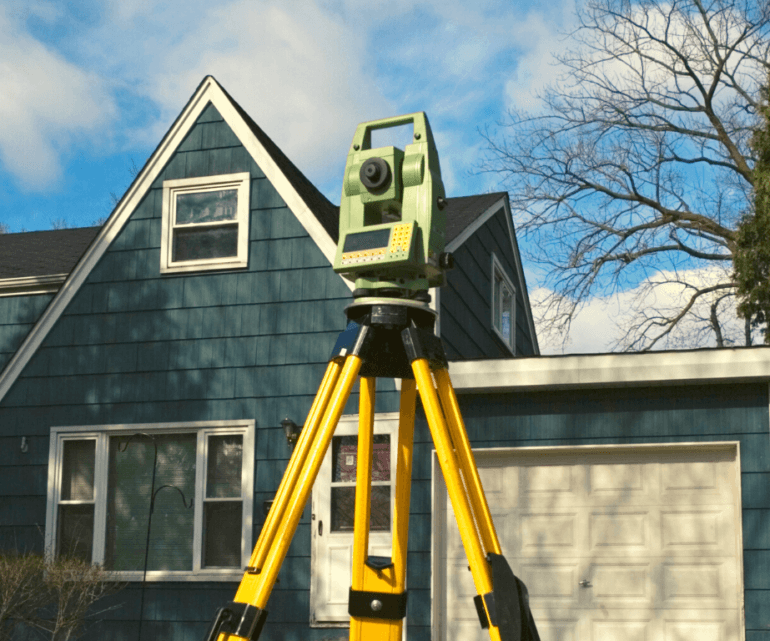
A flood elevation certificate is a document required for properly classifying properties that fall within FEMA’s flood map zones. The certificate is used to determine flood insurance policy rates. A community’s permit file must have an official record that shows new buildings and substantial improvements in all identified Special Flood Hazard Areas (SFHAs)are properly elevated. This elevation information is needed to show compliance with the floodplain management ordinance. FEMA encourages communities to use their Elevation Certificate to fulfill this requirement since it also can be used by the property owner to obtain flood insurance. If you are interested in learning more about FEMA’s Elevation Certificate.